
Caitlin Haedrich
About
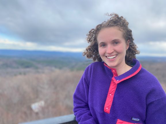
In spring of 2026, I successully defended my PhD in Geospatial Analytics at NC State University! Check out my dissertation here. I’ve now started as a Data Scientist with Battelle Memorial Institute where I’m embedded in an US Army research group. In this role, I’m learning about LiDAR and point cloud processing while continuing to improve my software carpentry and research skills.
I will be updating this webpage less as I recover from the PhD process. Please reach out if you have questions about anything you find here or are curious what I’ve been working on recently!
During my PhD, I was advised by Dr. Helena Mitasova and Dr. Ross Meentemeyer. With a background in geology and GIS, I was excited about creating tools and models that help stakeholders understand the impacts of climate change. In particular, I was interested in models related to flooding, surface runoff, sea level rise and land use. I’m also a contributor to GRASS GIS and develop Tangible Landscape activities for decision-making.
I completed my B.A. at Middlebury College in Geology and Mathematics in 2017, advised by Dr. Will Amidon and Dr. Dave Dorman. While I was there, I developed an interest in remote sensing and followed this interest to Lawrence Berkeley National Laboratory where I was an intern for 6 months working with Dr. Baptiste Dafflon and Dr. Haruko Wainwright in the Environmental Geophysics Group, studying water and nutrient flow through the Colorado River’s headwaters. Upon completion of the internship, I started a full time position at the US Army’s Cold Regions Research and Engineering Laboratory in the Radio Science group where I worked for two and half years before beginning at NCSU.
Follow me on:
 GoogleScholar,
  GitHub,
  LinkedIn
Contact
Email: caitlin.haedrich@gmail.com